


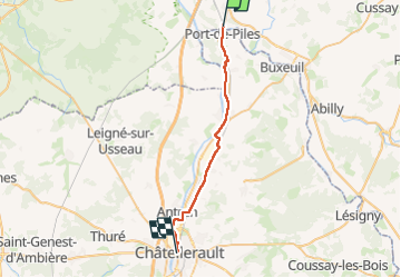

20 km | 24 km-effort

User


FREE GPS app for hiking
 SityTrail
IGN / Geographical institutes
SityTrail World
The world is yours!
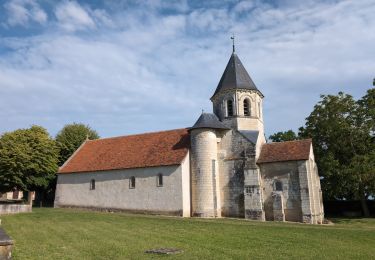
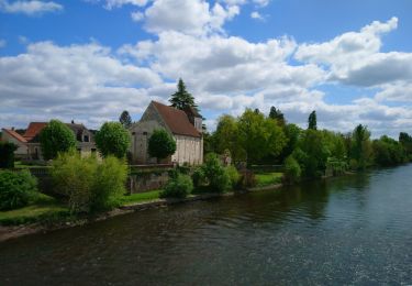
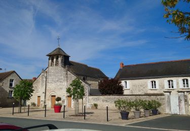
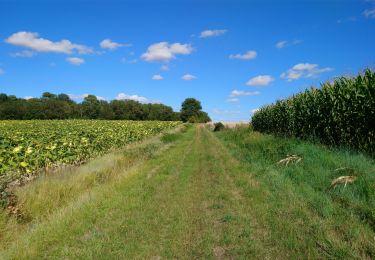
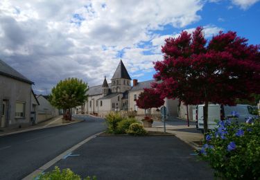
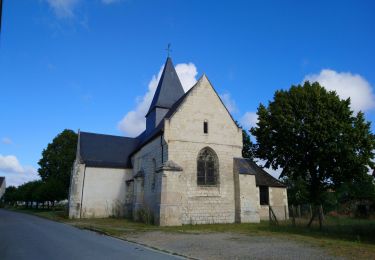
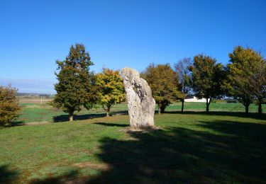
Trail Walking of 26 km to be discovered at Centre-Loire Valley, Indre-et-Loire, La Celle-Saint-Avant. This trail is proposed by LEGUE.
Pas de pluie
Tu goudron tout le long …


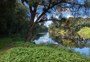
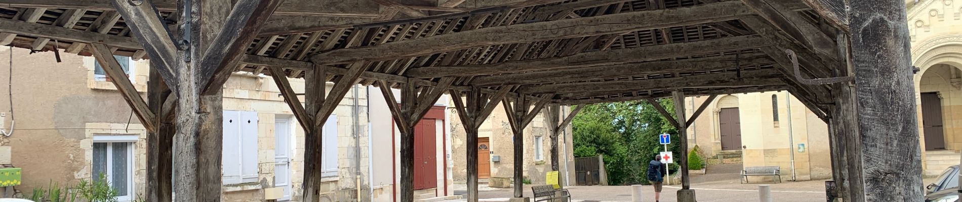
Walking
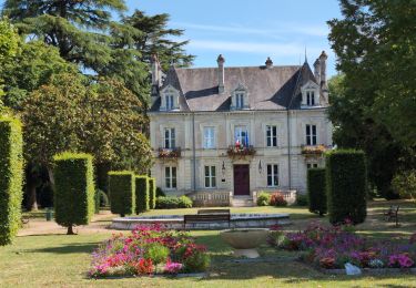
Walking
Walking
Walking
Walking
Walking
Walking
Walking
Walking